

Photo courtesy of Myra Canyon Trestle Restoration Society
One of our family’s favourite things to do on weekends is to go for a bike ride or hike at the Myra Canyon Trestles. We love that the path is wide and flat, and that the views are out of this world. But not everyone knows about this hidden Kelowna gem, so we thought it was time to share this great spot with you…

ABOUT
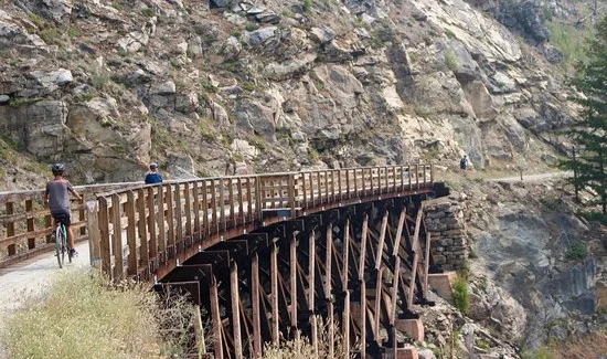
The Myra Canyon Trestles trail is a 12-km-long trail (one way) that follows a portion of what once once the Kettle Valley Railway. Popular with cyclists, this stunning and FREE attraction features a wide, flat path that follows the old railway route, winding along the side of the a steep-walled canyon and offering breathtaking views. The highlight of this trail is definitely the 18 trestle bridges and two tunnels along the route. Beeee-hold…
GETTING THERE + PARKING
It’s a 24-km drive from downtown Kelowna to the Myra Canyon Trestles, and there are two entrances - the Myra Station Entrance, and the June Road Entrance (see map below). We park at the Myra Station Entrance because it has the biggest parking lot, and because there are six trestle bridges within the first 2 kilometres (perfect for little people who can’t go further without melting into puddles of despair and exhaustion).
The road up is gravelly, has switchbacks, and is Bumpy. As. Hell. If you’re travelling with kids, pregnant women, or someone who has had too much coffee (*raises hand*), make sure they go pee first. Most vehicles should be fine going up, but … take it slooooow. It’s not a race, Mario Andretti!
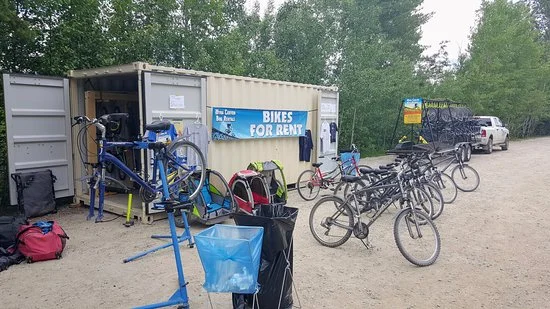
The Myra Station Parking Lot has two sections of gravel parking. The first section is the overflow parking, and offers the most shade. It often has a bike rental unit on-site, along with a mobile truck with snacks and drinks. This is typically available during peak season.
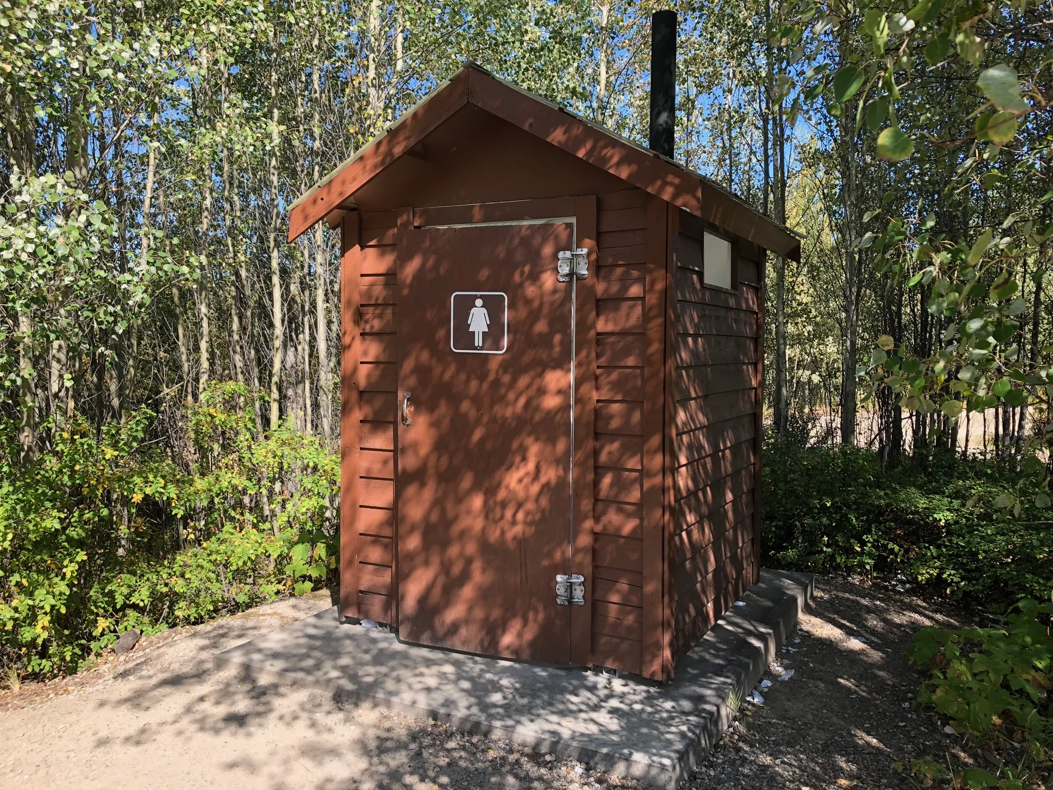
The parking area closest to the trail head includes a large map of the trail system, as well as two washrooms (non-flushing, much to our preschooler’s total dismay. ALERT ALERT you have been warned). It also has fewer spots in the shade.
+ Getting to the Myra Station Parking Lot (Main Access)
- Take McCulloch Road past the golf course to the Myra Forest Service Road.
- Once on the forest service road, follow it for 8 kms to the large parking area.
--> The road is gravel and can be rough. Use caution, since this section of paved road is narrow with blind corners <-- - The gravel parking area is divided into two lots with a total of roughly 75 spots, and plenty of room to turn around.
- There is no parking beyond this point. Motorized vehicles are prohibited past this point.
+ Getting to the June Springs Parking Lot (Alternate Access)
- Follow McCulloch Road to June Springs Road. Take June Springs for 6 kms to the Little White Forest Service Road.
- Follow the unpaved forest service road for 4.5 kms to the parking area.
--> This road is rough and passes through private property <--
- There is a gravel parking area for roughly 33 vehicles and one pit toilet above the parking lot.
- Further along the rail bed there is more parking. At kilometre 1 there are two narrow pullouts, with 11 spots and 21 spots, and two pit toilets.
- There is no parking beyond this point. Motorized vehicles are prohibited past this point.
ACCESSIBILITY
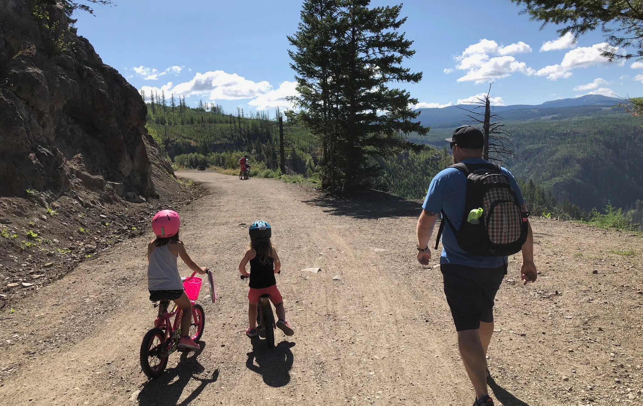
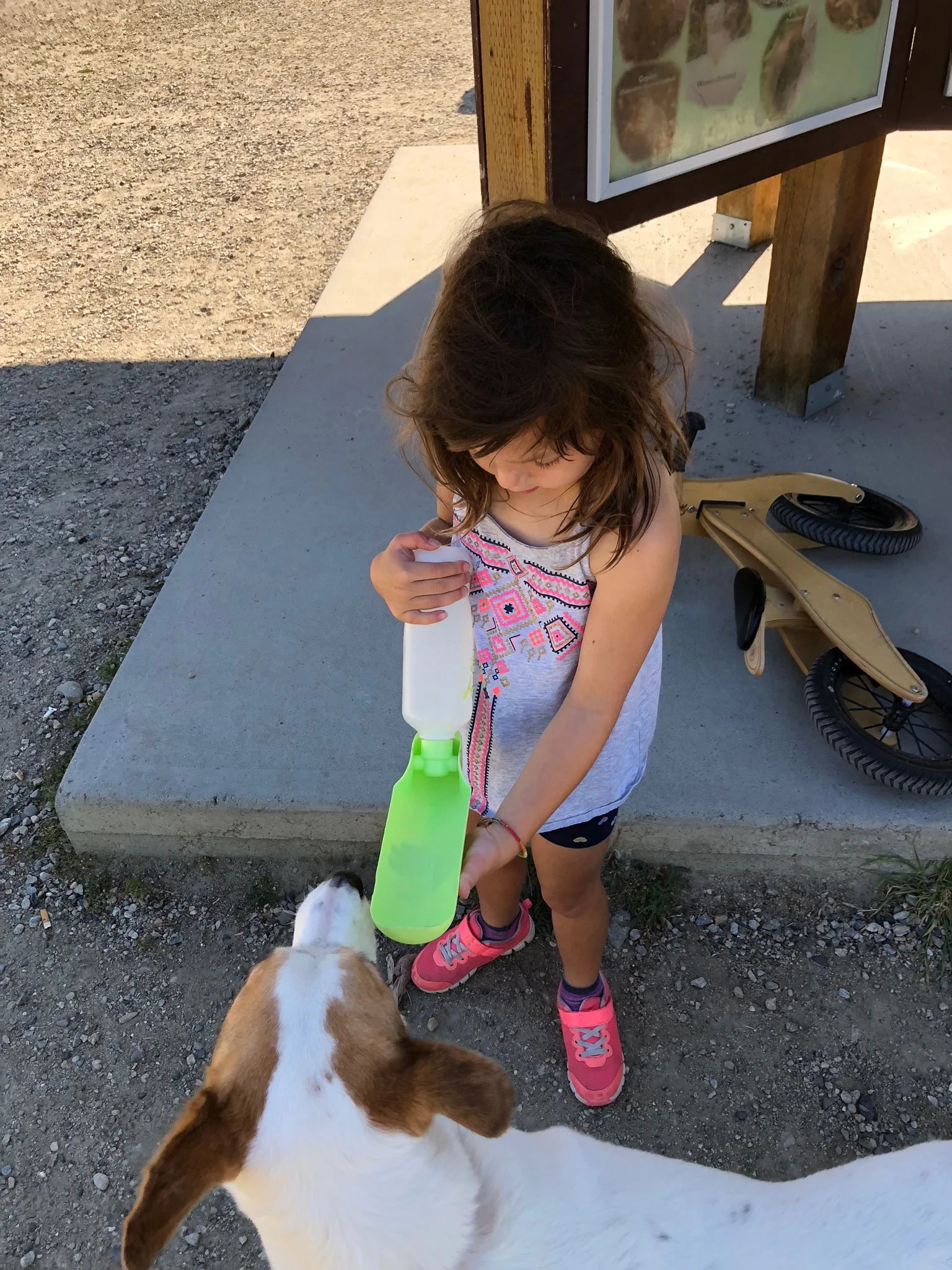
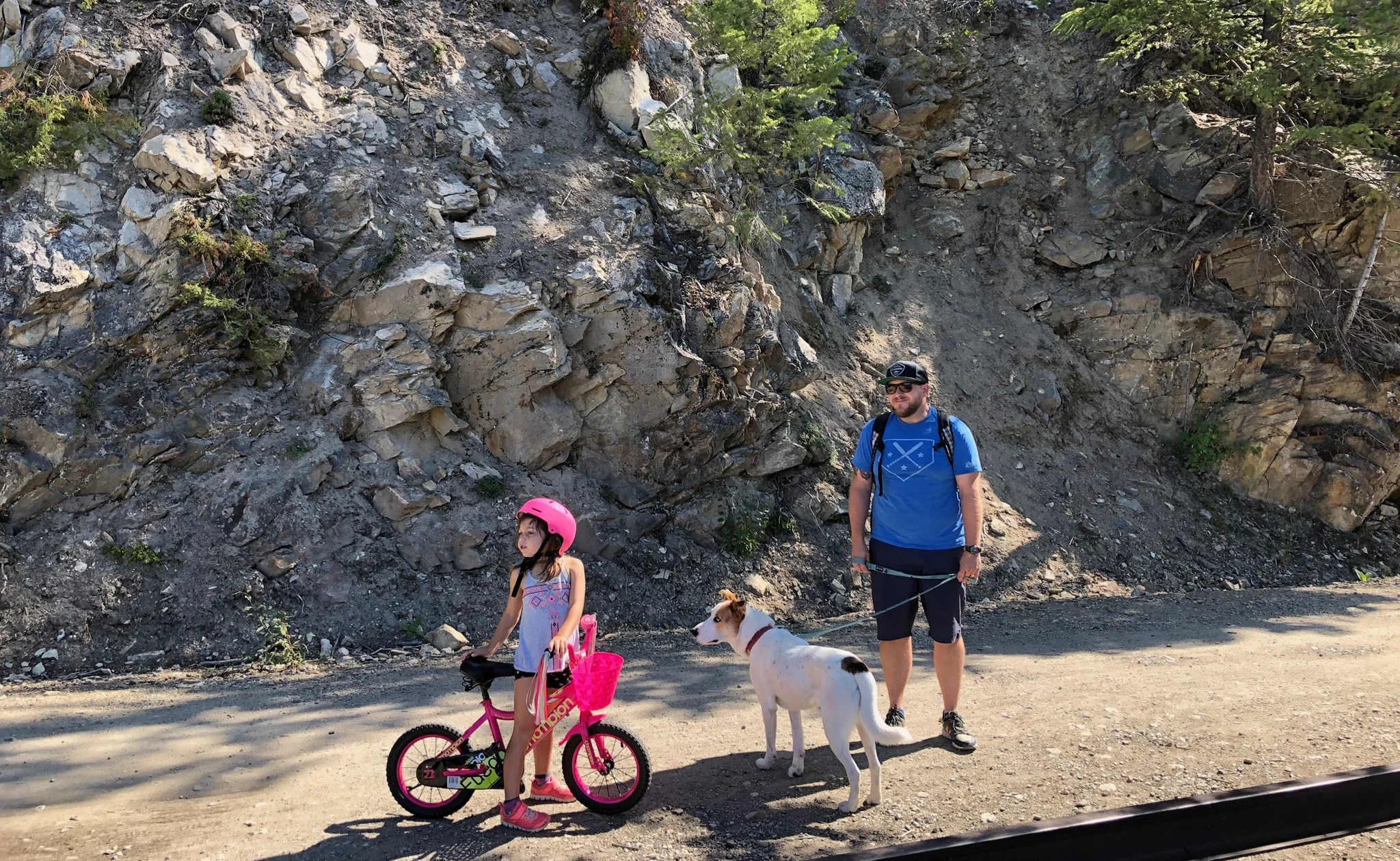
What we love about this trail is that it’s wide, flat, and appropriate for walkers, cyclists and runners of all ages and fitness levels. The footing is gravel and compacted soil, and the trestles haves a wooden plank boardwalk. Our three year old has no problem riding this trail on her strider bike (until her legs spontaneously break, which happens around the 4 km mark), and we often see people with strollers and chariots.
WHAT TO EXPECT ALONG THE WAY
The trail is 12 kilometres long, one-way. FAQ: How long does it take to do the whole trail both directions? Answer: I actually don’t know.
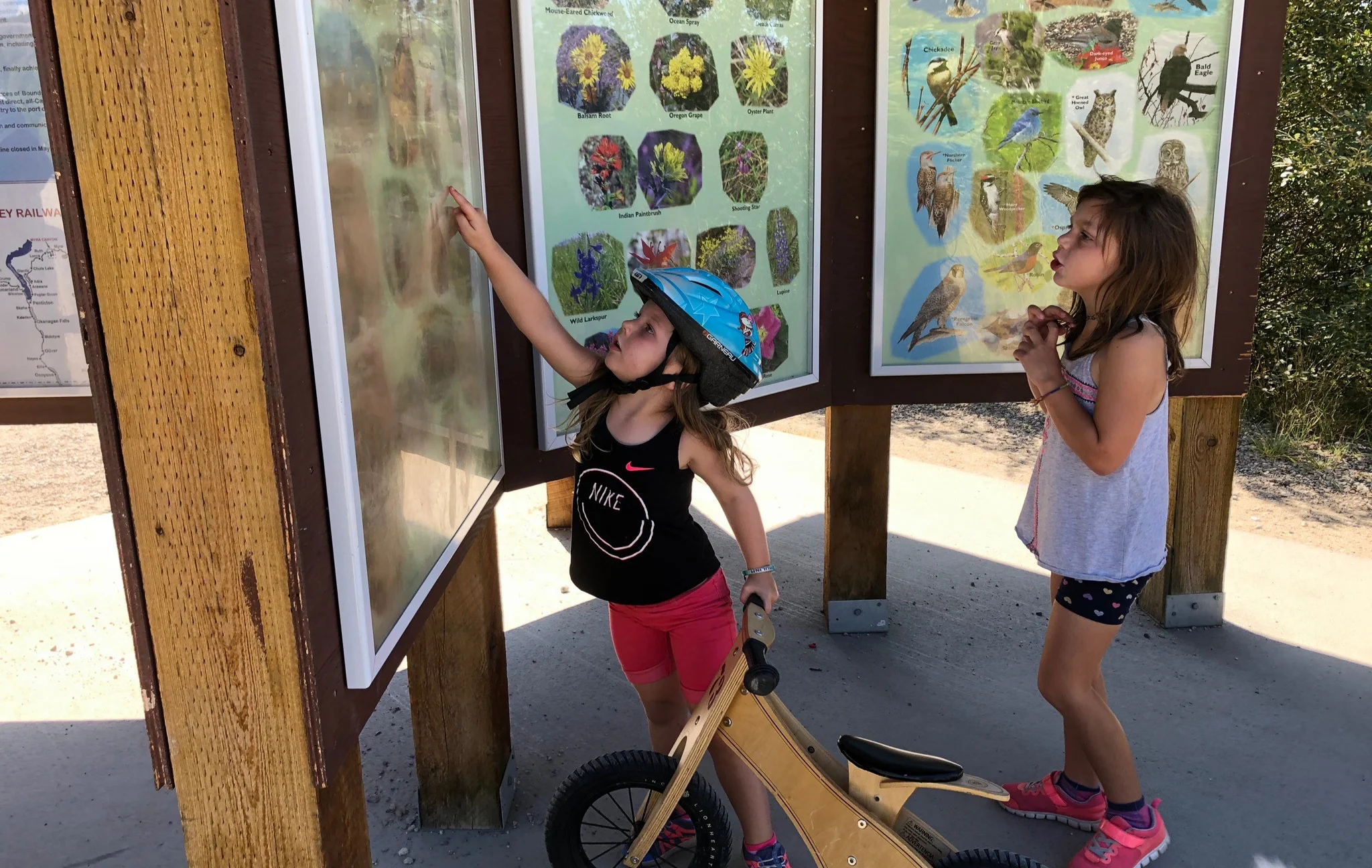
There are some benches scattered along the trail - usually at scenic lookouts or information centres - but these are few and far between.
Fill up with water before you go, and dress for the weather, as there are long stretches of the trail that are in the full sun.
We saw a bear here once! It was far away, but still super cool.
The first (and last) kilometre of the trail (if you are coming from the Myra Station parking lot) offers minimal shade, so bear that in mind if you are travelling with little people who tend to melt down at the end of the journey.
HOW FAR TO GO
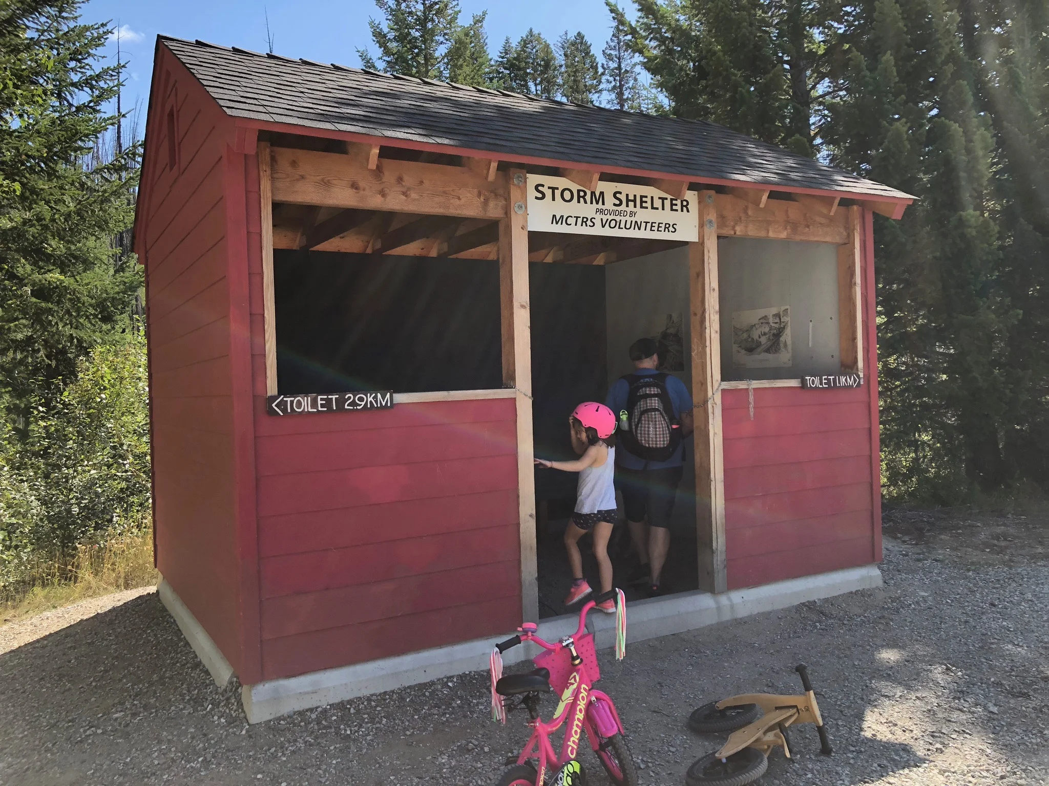
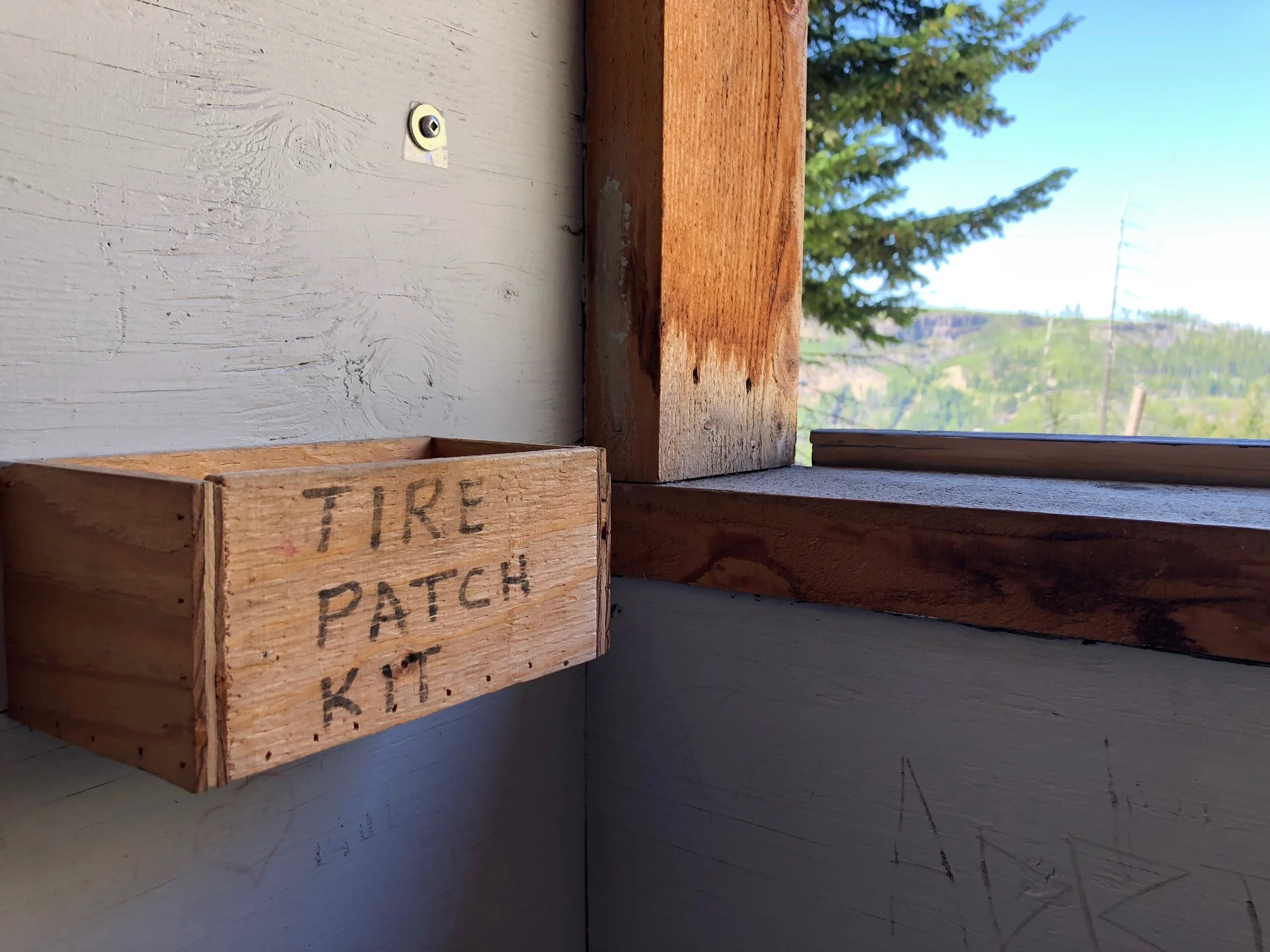
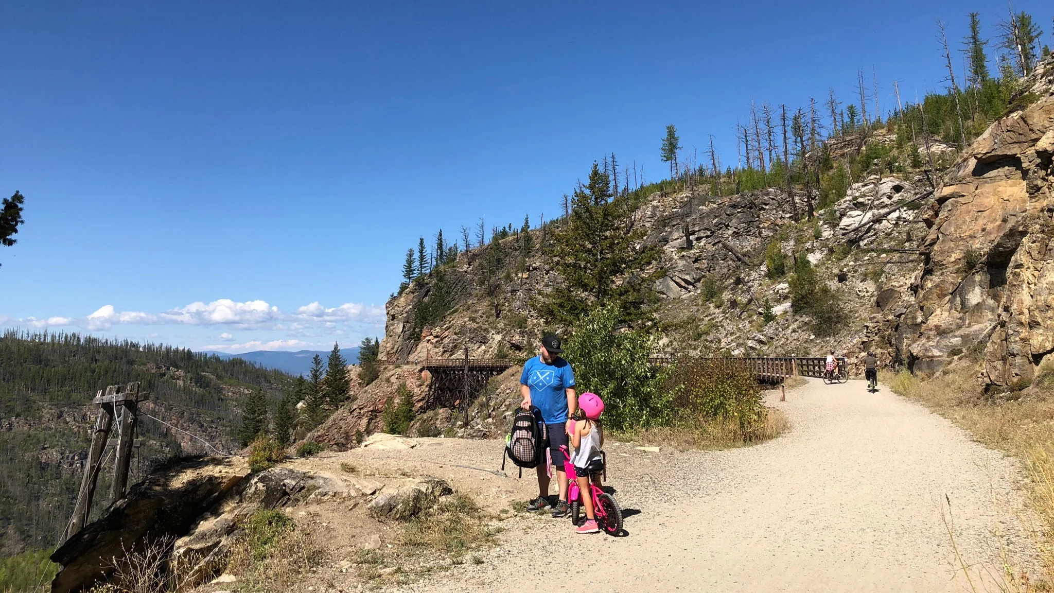
Our kids are 4 and 6, and we typically only do the first three kilometres (which means six kilometres round-trip). We do the first few trestles, the first tunnel, and then stop for a snack or lunch break at the Storm Shelter (pictured below), which also includes bike repair supplies!
SAFETY
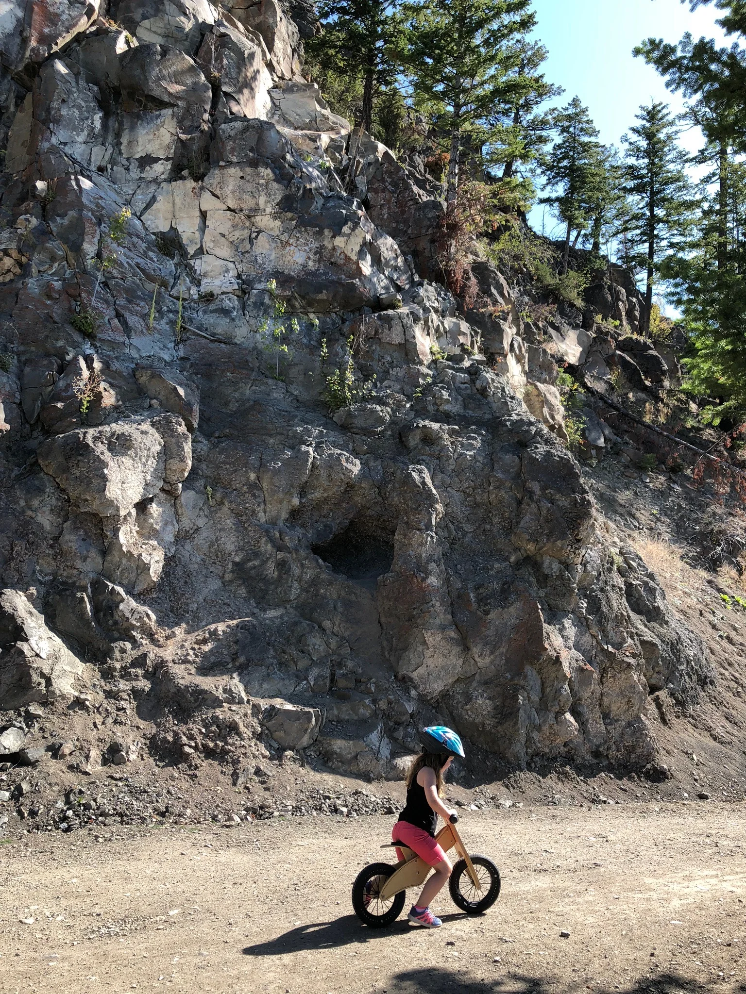
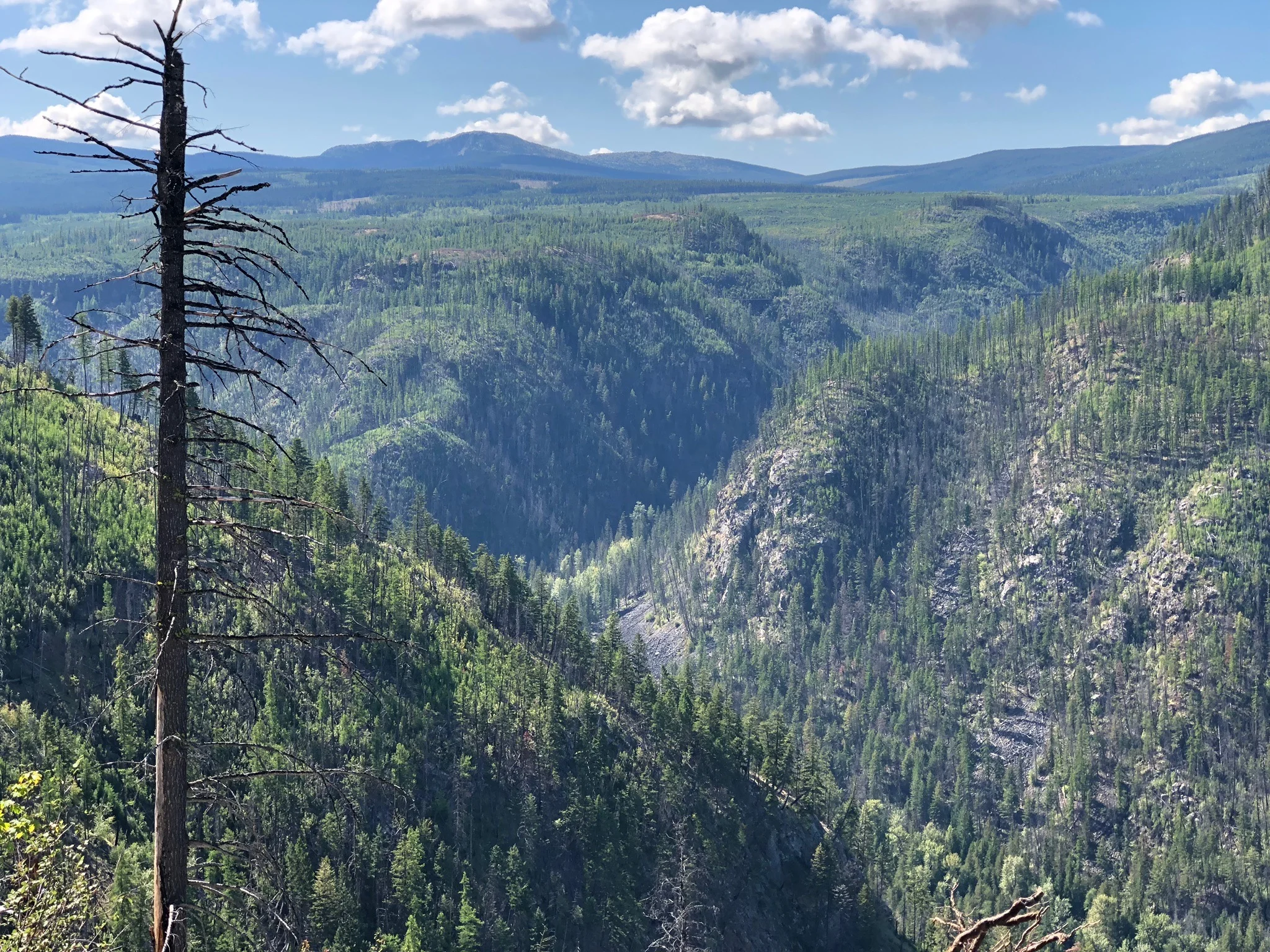
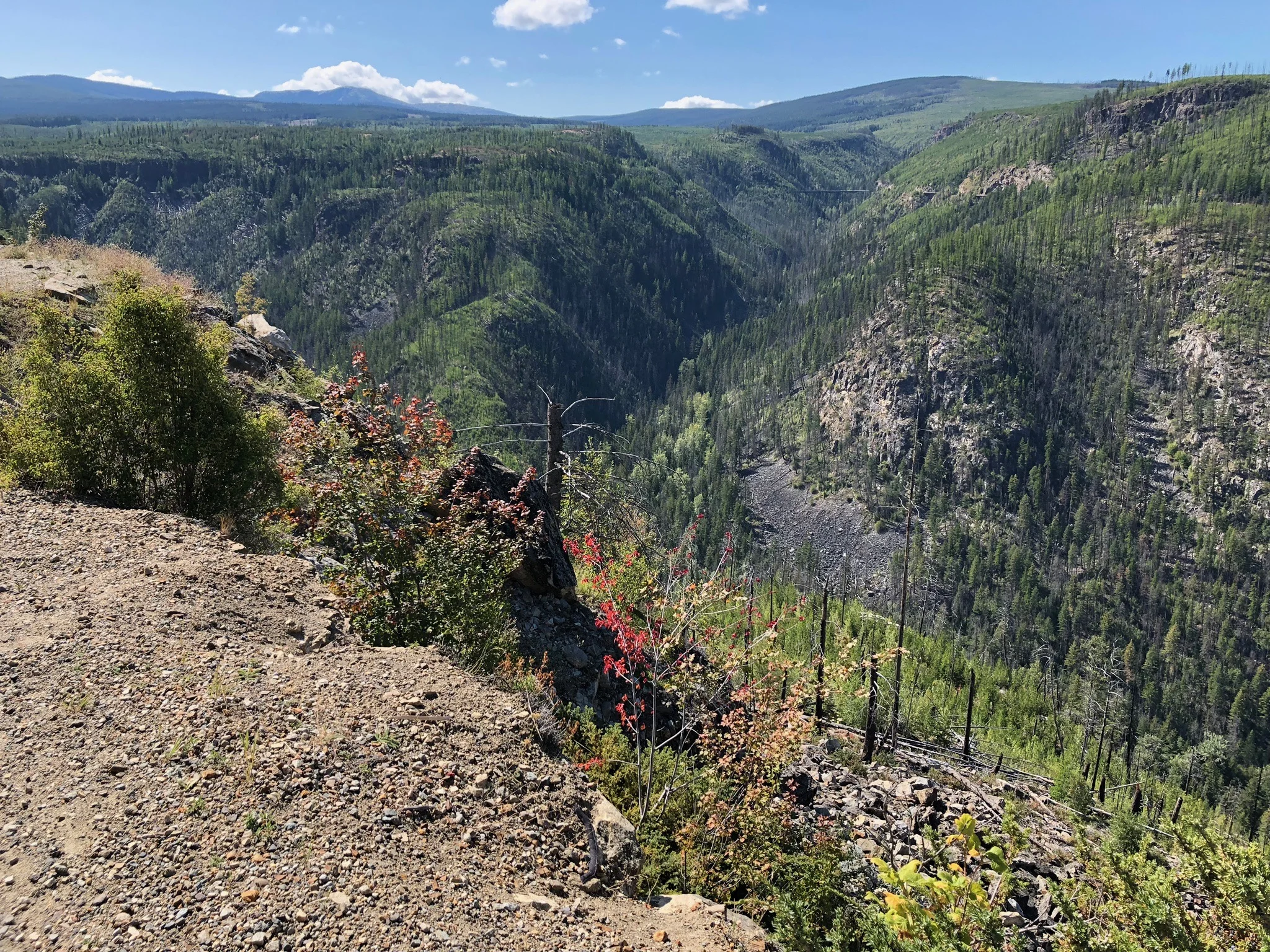
One side of the Myra Canyon Trestle trail is canyon rock wall ….
… and the other side - at many points - overlooks the canyon below…
While we are comfortable coming here with our children, we are aware of the canyon along one side, and urge them to cycle carefully, while giving others their space. The etiquette is for in-coming cyclists to ride on the canyon side of the trail, and returning cyclists to ride on the wall side (passing “left-to-left”), so bear that in mind.
THE TRESTLE BRIDGES
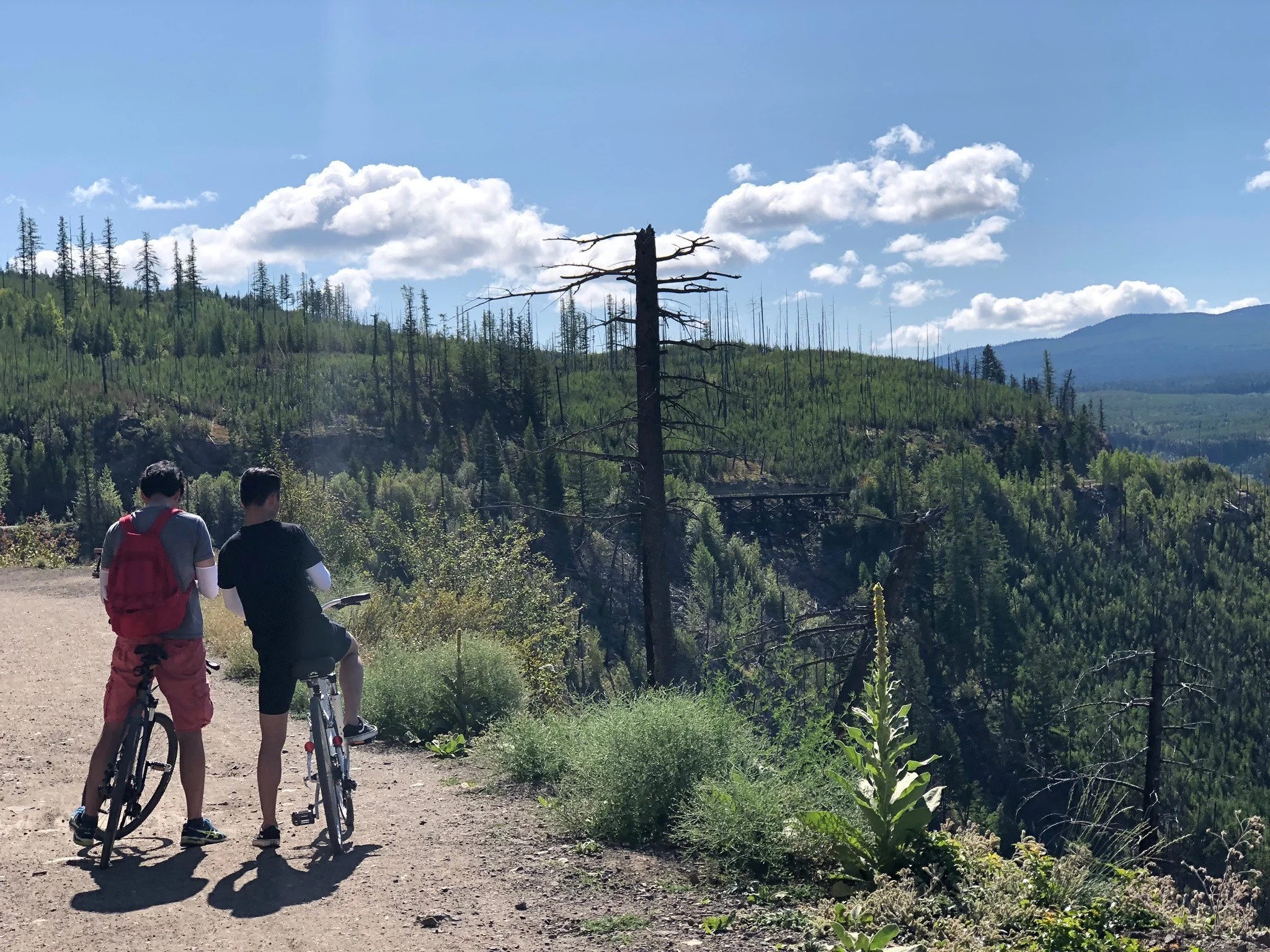
The highlight of this trail are 18 wooden trestle bridges. You can bypass some of them, but others have to be traversed if you want to continue on the trail. The bridges offer spectacular views, and include look-out spots.
If there are already hikers or cyclists on a bridge, we try to wait and let them exit the bridge before we enter. Some bridges are long, and don’t allow you to to do this, so be respectful of everyone on the bridge, go slowly, and give little cyclists lots of space.


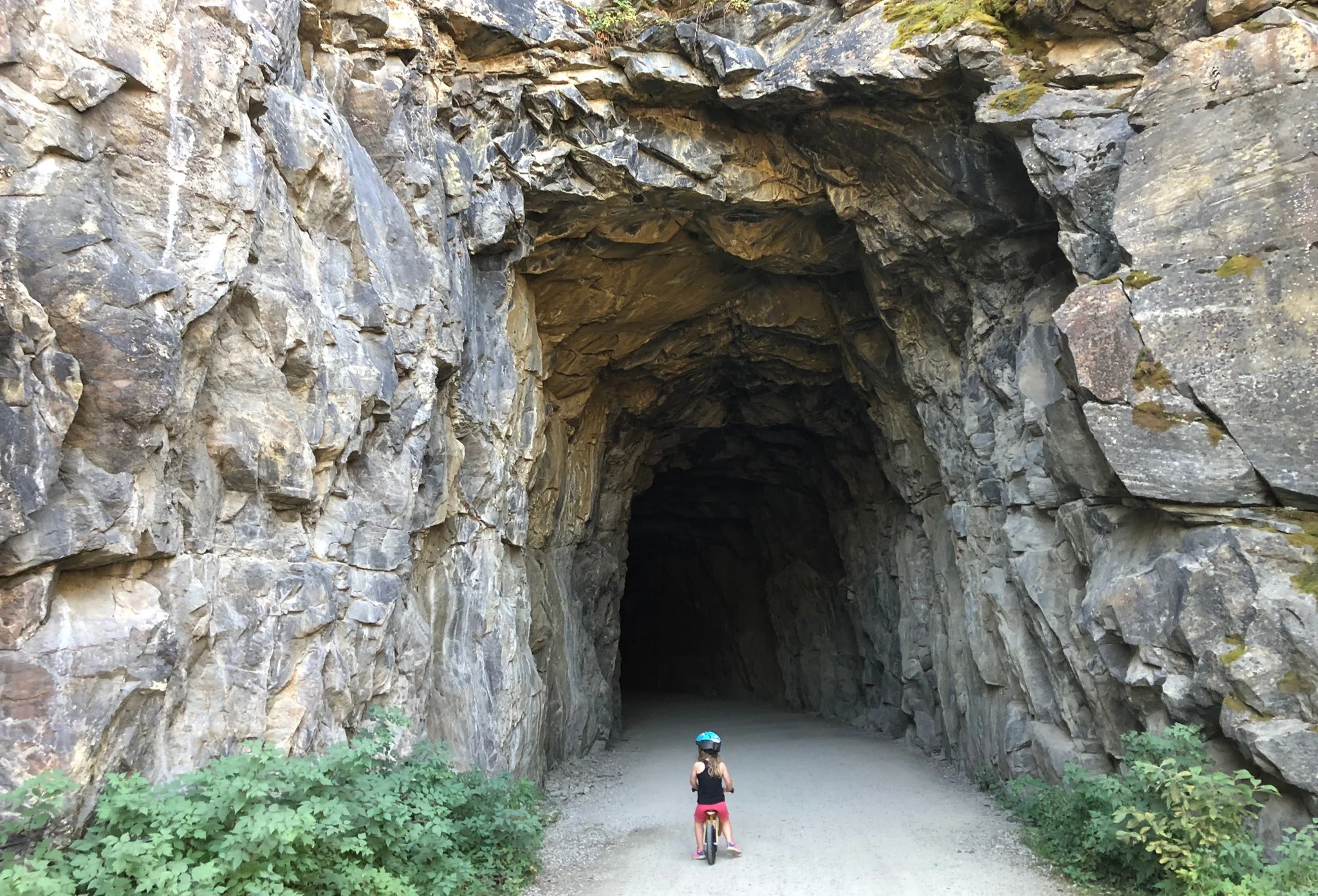
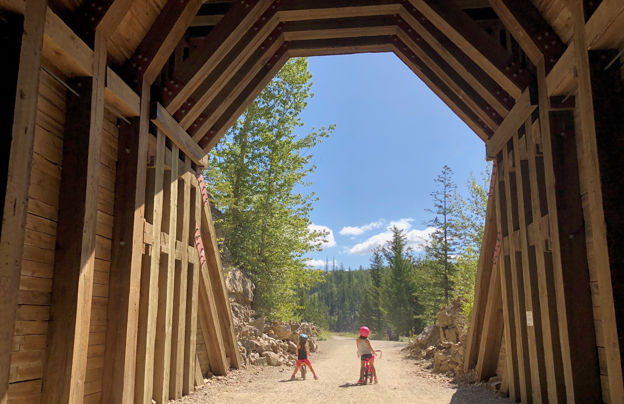
THE TUNNELS
There are two tunnels along the Myra Canyon Trestles Trail, and we go through one of them on our family’s route (we do the first three kilometres, and then turn back). The tunnel is definitely a highlight for our kids, and offers a cool break on hot, sunny days. Our children claim they see “bats” in here. We doubt their eyewitness accounts.
THE VIEWS
I’ll stop talking and let you see for yourself.
HISTORY
Courtesy of the Myra Canyon Restoration Society:
+ Kettle Valley Railway History
In 1897-1898, responding to the rush for Kootenay gold, silver and other mined minerals, the Canadian Pacific Railway built the Crow’s Nest Pass line to Midway, in the West Kootenays. At the same time, the Great Northern Railroad (an American company) was completing with branch lines north into Canada, threatening the sovereignty of what is now Southern B.C.
As a result, CPR directors agreed to extend lines from the Kettle River Valley Railway (later the Kettle Valley Railway) to the southern route from Midway. By connecting to the main line at Hope, Kootenay minerals and lumber were able move to ports on the West Coast, which helped keep B.C. within Canada.
+ Myra Canyon History
Myra Canyon presented a challenging obstacle to Chief Engineer Andrew McCullough. At an elevation of 1280 metres, the highest section of the KVR, it is a deep, steep and wide chasm, carved out by two main creeks: today’s KLO and Pooley creeks. McCulloch creatively hung his railway on the sides of the canyon, using nearly eleven kilometres of track to reach around something less than one kilometre wide. Completed in 1914, it took 19 (now 18) wooden trestles of various lengths and heights to do it. McCulloch commented that he had never seen a railway built in such difficult conditions. His engineers aptly called it “McCulloch’s Wonder”.
When the Coquihalla section opened in 1916, the southern route from the Kootenays to the West Coast was complete. Through to 1980, the KVR was the major economic driver of development of B.C.’s southern interior.
+ The Making of the Myra Canyon Trail
In 1980 the CPR removed the rails from Midway to Penticton and turned over the right-of-way to the provincial government. The trail and the trestles soon fell into disrepair, neglect and vandalism. When several serious accidents occurred, the B.C. government contemplated closing the entire trail to the public.
In 1993 the Myra Canyon Trestle Restoration Society (MCTRS) was formed with the goal of making the trestles safer for the public. Over the next three years, its volunteers decked each of the trestles with a four-foot boardwalk and erected guard rails. Community groups and individuals came forward to sponsor the trestles with labour, funds, or both. Everything was done through volunteers and donations.
In 1995, with the trestles now safe for visitors, MCTRS turned its attention to repairing the trail, building cribbing for one of the tunnels, and arranging scaling on the rock cuts and in the two tunnels. Visitor numbers began to increase significantly. MCTRS installed toilets and built benches at view points and convenient rest areas. Interpretive signage followed as did electronic counters to tally the people passing through the canyon. In 2003, over 30,000 people visited Myra Canyon from all over the world as the canyon became a destination for adventure tourism. A major cycling magazine rated it as one of the 50 best bike rides in the world.
MCTRS also saw the need for protection of Myra Canyon long-term. After five years of lobbying the B.C. Government, Myra Canyon and its trestles were declared a part of the new Myra-Bellevue Provincial Park. Then, to recognize the history of the Kettle Valley Railway and in particular, Myra Canyon, MCTRS applied to the National Historic Sites and Monuments Board of Canada for designation of the canyon as a place of national historic significance. That designation occurred in January, 2003.
+ Fire and Reconstruction at Myra Canyon
In mid-August of 2003 a lightning strike in Okanagan Mountain Park started a rapid growth forest fire. The massive fire burned for nearly a month consuming 270 homes and 26,000 hectares of forest and parkland, including 12 of the wooden trestles, while damaging the two steel bridges, the trail itself, rock faces and many amenities built up over the past ten years.
The Premier of B.C. formed a task force that recommended rebuilding the trestles to resemble the original structures, both for historic reasons as well as to showcase the versatility and dependability of B.C. forest products.
Trestle 18 was the first to be rebuilt in the fall of 2004, just one year after the fire. Five more were completed in 2005, four in 2006, three in 2007 and the final one in early 2008. Some 54,000-people visited Myra Canyon in 2008.
+ Maintenance, Enhancement, Education + Protection
With the trestles rebuilt, MCTRS turned its attention to maintenance and enhancements. To formalize this work, MCTRS entered into a 10-year agreement on January 1, 2014 with B.C. Parks to maintain the trail and the trestles “from the ties up”, along the entire 12 km trail.
Now, MCTRS has added another objective to its mandate: the preservation and enhancement of the cultural heritage of Myra Canyon. For example, partnering with the University of British Columbia Okanagan the two organizations sponsored historical archaeological digs at two of the original constructions camps in 2007 and 2008. Future plans include maintaining the by-pass trail around trestle #3 (severely damaged in 2013) which follows an old tote (service) road and passes through another of the original construction camps.
The all-important community involvement with the Myra Canyon trail continues as does its role as a crucial link in The Great Trail (formerly the Trans Canada Trail). Volunteers continue to perform the work needed to keep Myra Canyon in great condition, supported by donations.
OTHER WAYS TO DO THE MYRA CANYON TRESTLES
Rent a bike or get a guided tour with Myra Canyon Bike Rental & Tours.
Or you can get a shuttle from downtown Kelowna & guided tour with Kettle Valley Railway Cycling Company or Cheers! Okanagan Tours.
For more information on the Myra Canyon Trestles, visit the Myra Canyon Restoration Society website.

OPERATING HOURS
The Myra-Bellevue Provincial Park is a day-use park that is open year-around.
The Myra Canyon trestles, tunnels and trail are only maintained by MCTRS (the Myra Canyon Trestle Restoration Society) from late May (after snow melts) until late October/mid-November (when snow returns).
When not maintained, there may be trees, slides or boulders that have fallen across the trail and there may be damage to trestles.
An announcement on this website HERE will be made when Myra Canyon has been cleared of snow and winter’s effects, and open for use.